
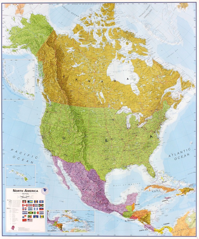
Bestel het boek Wandkaart Noord Amerika, politiek, 100 x 120 cm | Maps International online bij DeZwerver.nl voor slechts 38.95. Dit boek heeft ISBN Nummer 9781904892045. De bezorgkosten van dit Wandkaart over Canada zijn 6.95. Op werkdagen voor 17:00 besteld, volgende dag in huis!
Fraaie politieke kaart van het continent, waarbij vooral de politieke aspecten heel duidelijk te lezen zijn. Alle landen hebben verschillende kleuren, steden en belangrijke verbindingen zijn goed te vinden. Dit is geplastificeerde uitvoering zonder ophangsysteem.
Wandkaart Noord Amerika, politiek, 100 x 120 cm | Maps International kopen
Wat aanvullende informatie over Wandkaart Noord Amerika, politiek, 100 x 120 cm | Maps International:
ISBN Nummer: 9781904892045
Categorie:Wandkaart
Uitgever: Maps International
Continent: Noord-Amerika
Land: Canada
Regio:
Taal: Engels
Aantal pagina’s: 1