
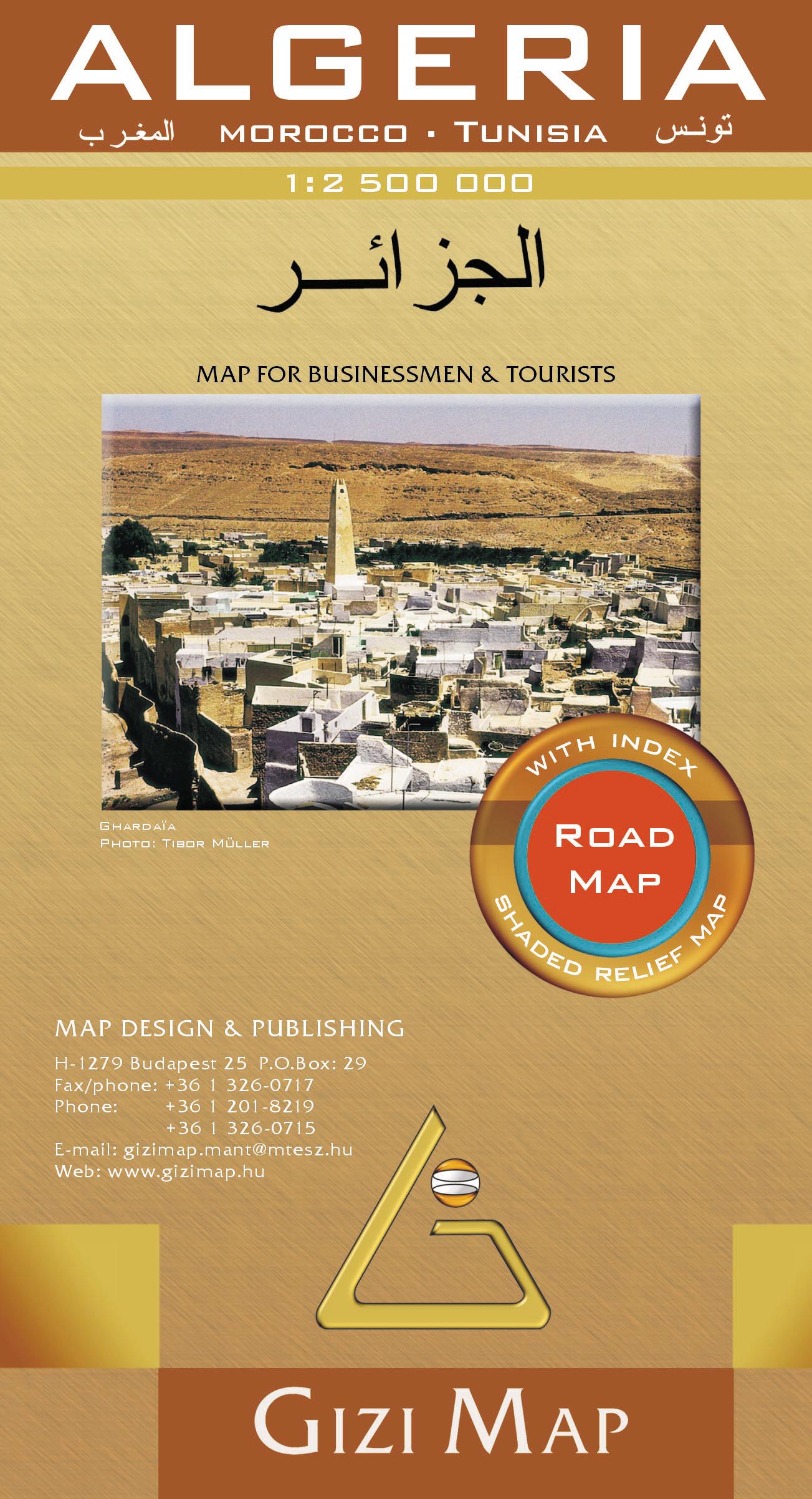
Bestel het boek Wegenkaart – landkaart Algeria – Algerije | Gizi Map online bij DeZwerver.nl voor slechts 17.95. Dit boek heeft ISBN Nummer 9789638703002. De bezorgkosten van dit Landkaart – wegenkaart over Algerije zijn 2.95. Op werkdagen voor 17:00 besteld, volgende dag in huis!
Mooie, duidelijke kaart van Algerije met plaatsnaamaanduiding in het Engels en het Arabisch.
A detailed general map with relief depicted by vivid elevation tinting. The map is indexed and selected location names are written in Arabic as well as standard roman text. Coverage includes neighbouring Tunisia and most of Morocco. Terrain features such as sand deserts, stone deserts, salt flats, water holes and swamps are distinguished, and selected peak heights are indicated. Bathymetric tinting is also applied.
Several categories of roads are distinguished, including selected tracks, with intermediate driving distances marked on many routes. Railways, oil and gas piplines, and administrative boundaries are drawn and symbols denote oil and gas production sites, airports, ports, places of worship, campsites, hostels, beach resorts, oases, lighthouses, forts, museums, UNESCO sites and other antiquities and sites of interest. Lines of latitude and longitude are drawn at 1° intervals. The multilingual legend includes English and Arabic. A wallmap version of this map is also available on our website.
This map differs from the Algeria (Road edition) by the same publisher in the depiction of the relief, otherwise the detail is the same.
Wegenkaart – landkaart Algeria – Algerije | Gizi Map kopen
Wat aanvullende informatie over Wegenkaart – landkaart Algeria – Algerije | Gizi Map:
ISBN Nummer: 9789638703002
Categorie:Landkaart – wegenkaart
Uitgever: Gizi Map
Continent: Afrika
Land: Algerije
Regio:
Taal:
Aantal pagina’s: 1